Oil & Gas – Power Lines – Solar – Wind
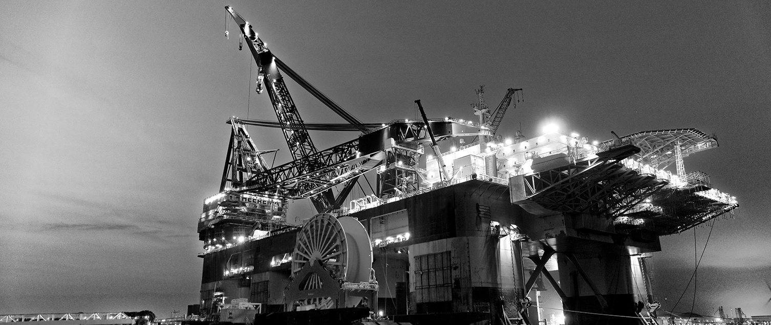
The Energy sector is changing rapidly and relies on inspections and innovative technology to maintain essential safety standards to optimally power the world. Regular inspections can be costly and time-consuming to carry out, in addition to being potentially life-threatening to employees. That’s where drones come in. With drones flying over any operation, users can quickly observe and easily assess damage to equipment, including wind turbines and solar panels, to prevent potential problems from growing before it’s too late.
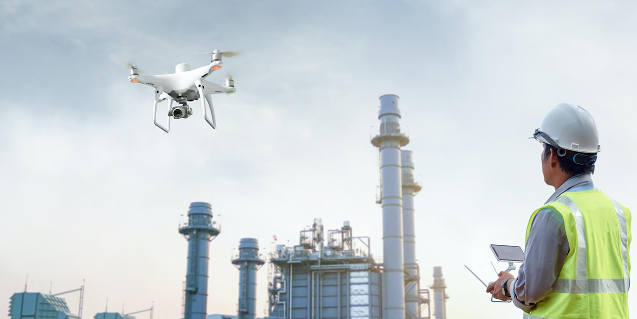
Drones are capable of supporting various applications (surveying, inspections), providing highly accurate data, and reducing risk. Today, drones are used widely in the oil & gas, solar, wind, power lines, and nuclear sectors.
Benefits of using drones in the Energy Sector include the following:
Data Accuracy:
One of the key benefits of drone data is its high level of accuracy, which is near impossible to replicate via manual data collection. Additionally, drones can provide more close-up, detailed imagery that supports maintenance and reporting efforts and help companies make better decisions.
Reduced Risks:
Protect workers from hazardous sites and materials while quickly addressing asset issues by using drones to get up and close to assets.
Maximized Uptime:
Keep operations and facilities running at optimum efficiencies, while critical inspections are conducted using a variety of cameras and sensors. Manage assets with minimal downtime.
Enhanced Efficiency:
Manage assets with precise aerial insights acquired during automated drone flights that quickly identify threats. Drones allow teams to inspect areas that are otherwise hard to reach, and to gather more accurate information than ever.
Reduced Inspection time and money:
Drones also reduce inspection times, allowing operators to focus more attention on the information gathered and take a large-picture view of the data. You can also conduct critical inspections using drone solutions while operations continue to run, minimizing maintenance costs.
Automation:
Scale operations with the automation that drone technology provides.
Reliable Insights:
Gain detailed aerial data and quickly pinpoint asset anomalies through automated, repeatable workflows.
Applications for easier and efficient explorations, planning & development
Oil & Gas
- Drone-powered routine inspections and safety monitoring improve efficiency without halting operations or compromising personnel safety.
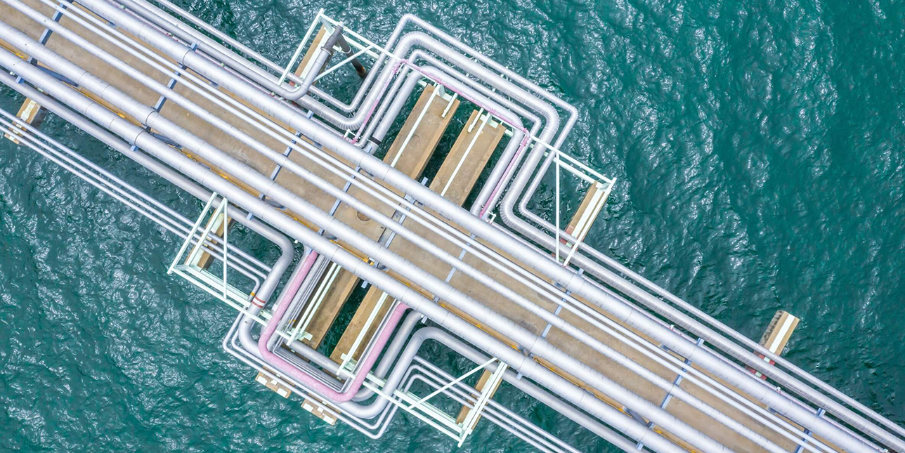
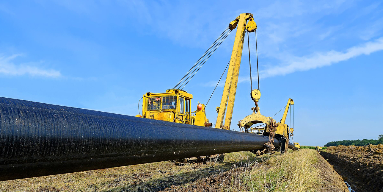
- Drones help monitor and manage long pipelines spread across different geographies, identifying leakages or anomalies quickly.
- Drones collect data quickly and accurately to conduct site surveys of exploration sites and inform construction projects from design to execution.
- Drones enhance the productivity of oil and gas facilities, reduce maintenance and repair requirements, and facilitate easier and more streamlined exploration.
Powerlines
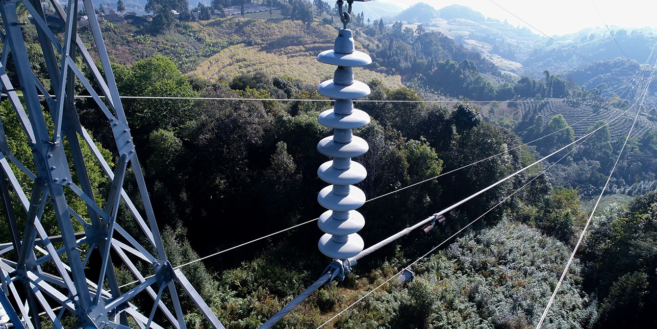
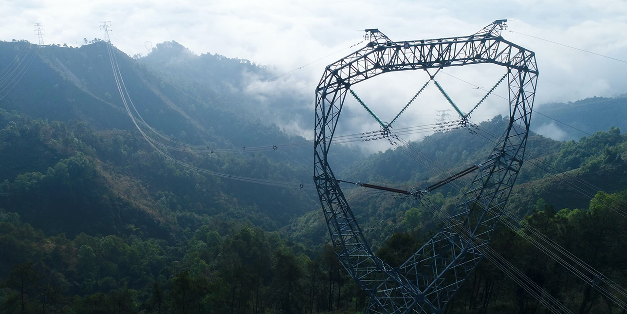
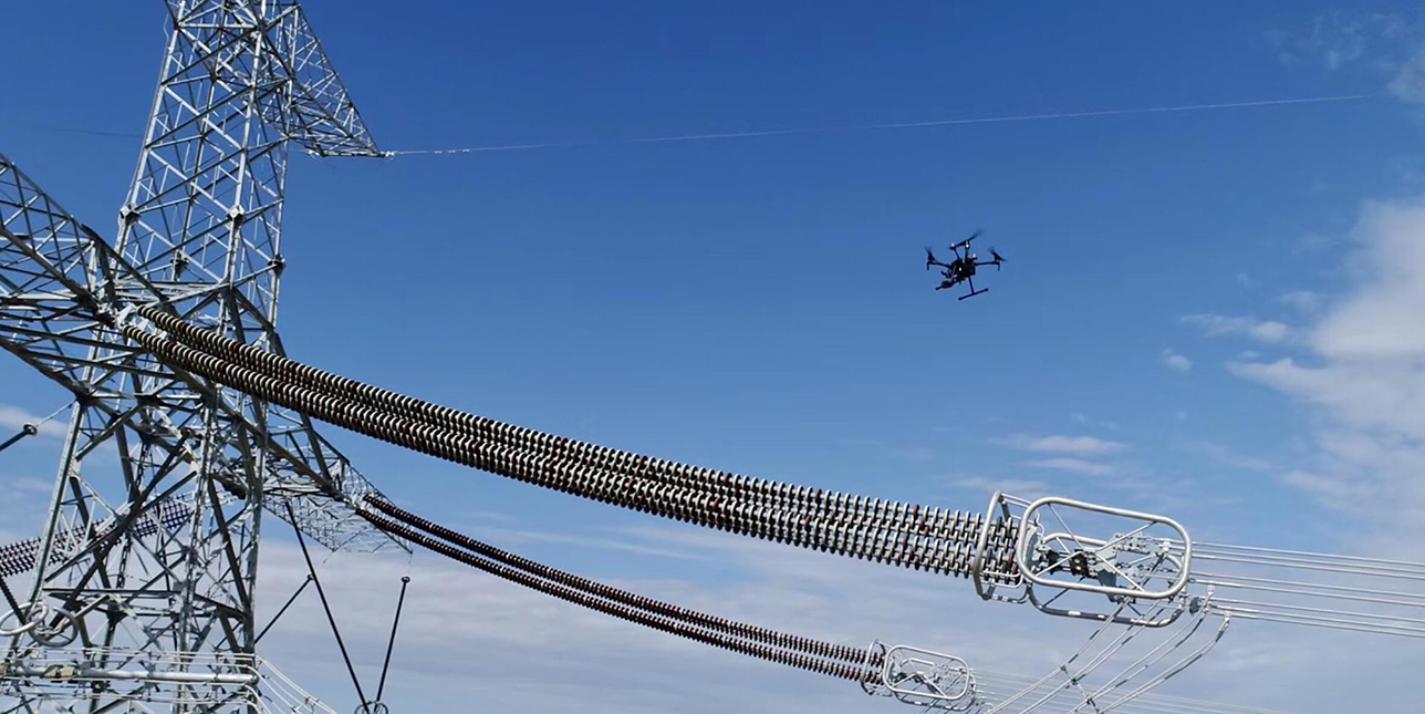
- Traditionally, power line inspections required climbers. Now, drones can conduct the hard work, leaving climbers on the ground, increasing safety.
- Drone solutions deliver detailed and accurate data on all parts of the power grid, automating inspection, enabling timely repairs, and reducing downtime.
- Drone solutions provide critical visual and thermal data on the conditions of power stations, so personnel can identify risks and address them quickly without shutting down operations.
- Equipped with specialized tools, drones can quickly clear powerlines of debris, keeping personnel safe on the ground and avoiding shutdowns.
Solar
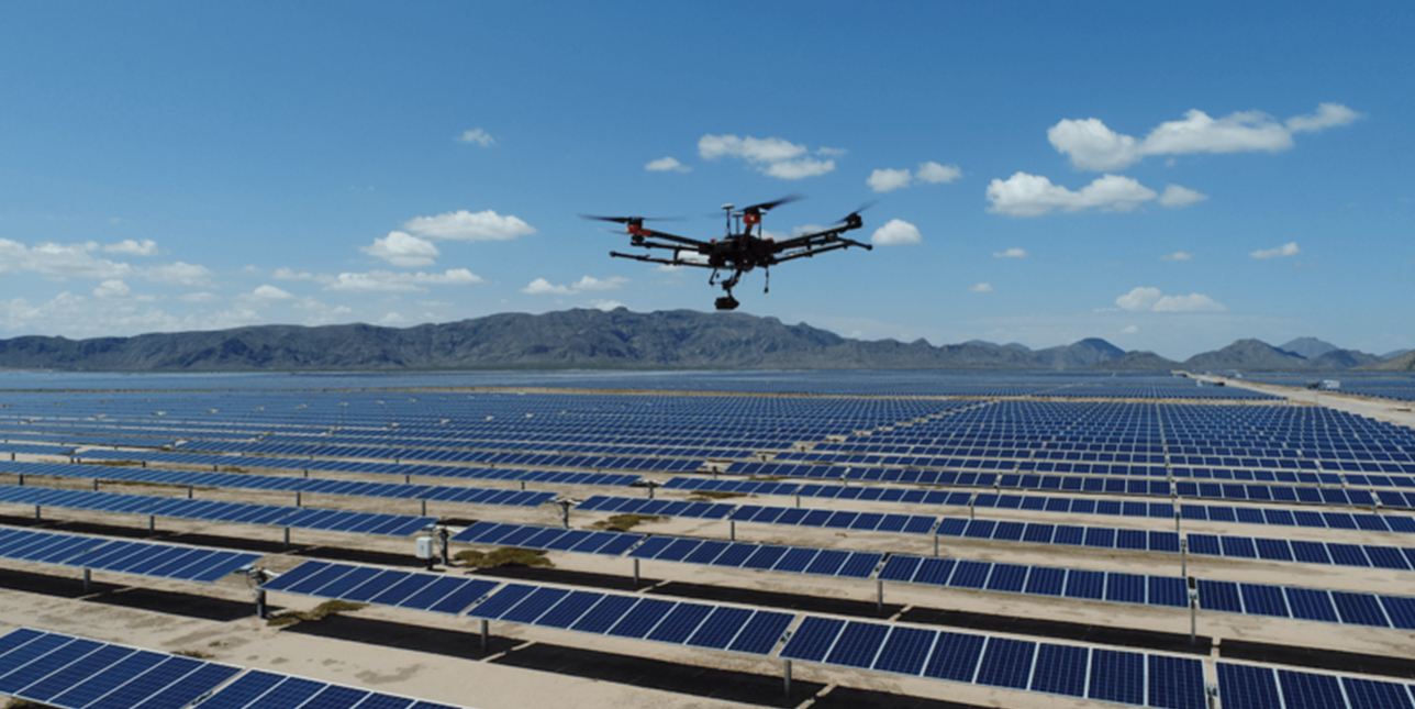
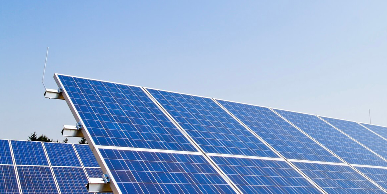
- Drones make solar farm site inspections easier and more time efficient than a manual inspection, while also facilitating easier planning and development.
- The process involves detailed planning and a thorough understanding of the area to be inspected. There are multiple steps required to conduct a successful inspection.
- Aerial images provide a broader perspective of solar farms and allow maintenance teams to receive valuable information in real-time, like the status of each panel.
- You can gain real-time readings of solar panels using drones equipped with visual and radiometric thermal sensors to immediately identify abnormalities.
Wind
- Since wind farms require maintenance and inspections at regular intervals, drones are an efficient tool to evaluate the quality and efficiency of the farm.
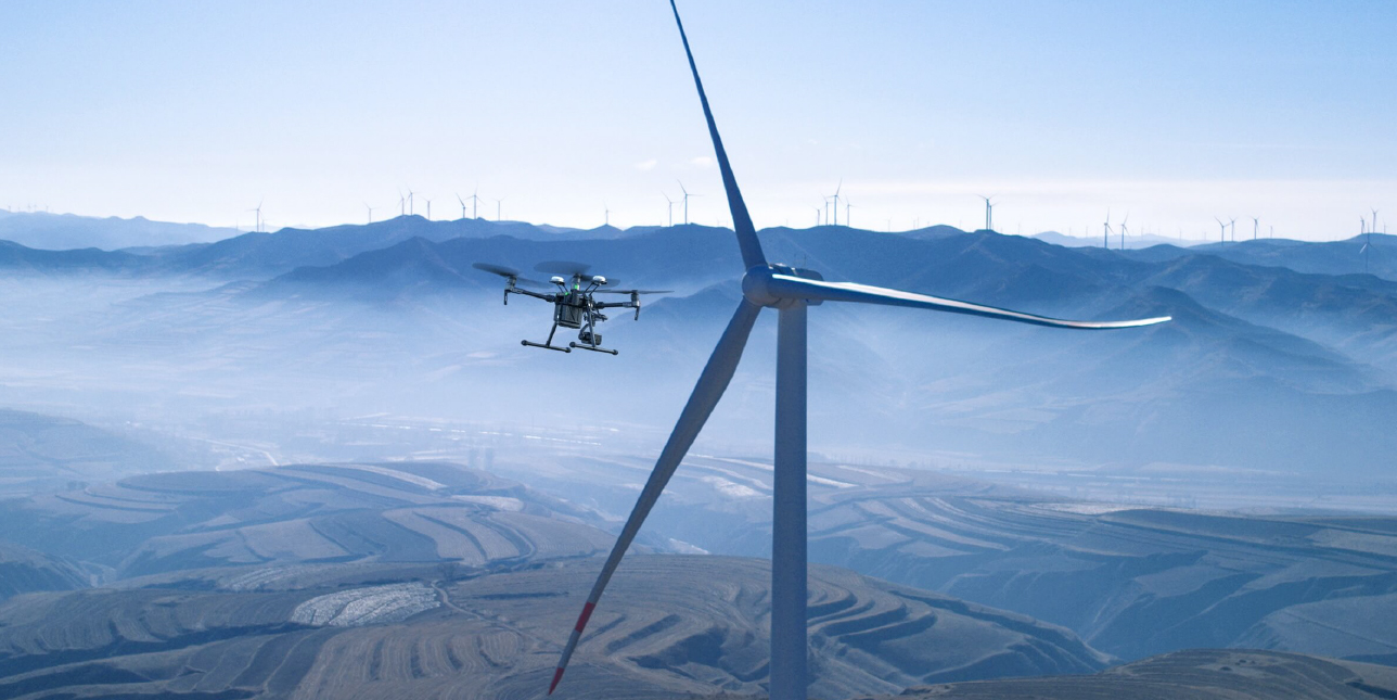
- Conduct automated flights up and around wind turbines to document their conditions and zoom in to defects for timely repairs.
- Drones capture accurate, detailed data, and can reduce turbine downtime, man hours and maintenance checks significantly.
- The Matrice 300 RTK inspection platform conducts automated, detailed inspections of wind turbines with a high-resolution hybrid camera.
DJI Enterprise Drone Solutions
Rapid Mapping Platform with the Phantom 4 RTK
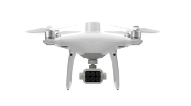
An intuitive surveying solution that captures centimetre-level accurate data and creates georeferenced 2D maps and 3D models. Create 3D point clouds and detailed 3D models of assets using this solution.
Versatile Platform with the Matrice 300 RTK
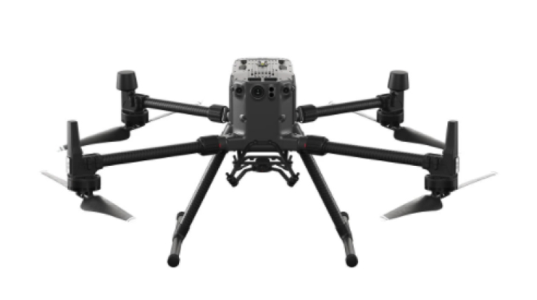
A high-performance, rugged drone platform paired with a powerful hybrid camera to empower teams through a streamlined user experience and unparalleled efficiency – all while maintaining the highest standards for safety and reliability.
New Drone Platform – Mavic 2 Enterprise Advanced
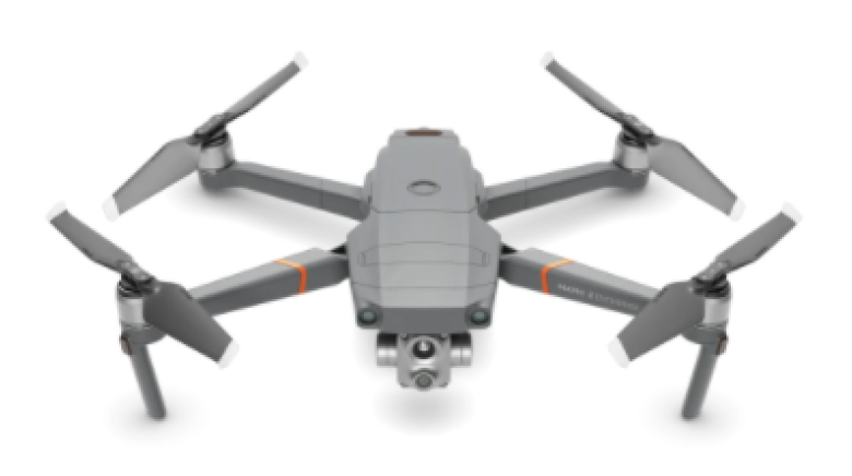
With thermal and visual sensors, the M2EA supports 32x digital zoom and is capable of centime-level positioning accuracy with the RTK module.
