Learn more about some of our projects and ways in which our applications of AI, Unmanned Aerial Systems and Data Analysis that have been used so far.
Pipeline Inspection
Skymount assisted a leading GIS, surveying & mapping company (serving 1,000 customers globally) to provide inspection services in accordance with the increasingly stringent Alberta Energy Regulator (AER) and Federal directives. Combining Skymount’s enterprise drones, sensors and SCIMON, the customer will be able to efficiently perform pipeline and facility inspections.
With the combination of SCIMON and the drones, the customer will be able to perform thousands of kilometres of pipeline inspections searching for fugitive gas, pipeline and Right of Way (RoW) health, encroachment as well as providing an overall integrity report that uses real time and historical data to provide an actionable report to our customers.

Wildlife Protection
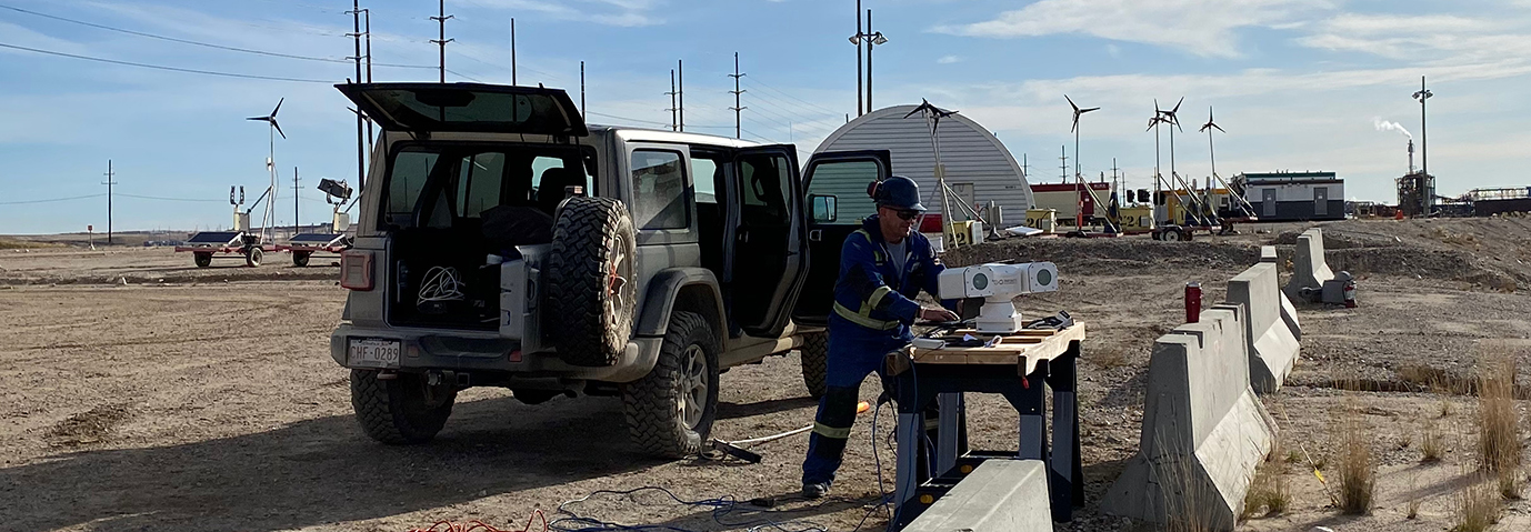
The Platform is a fully integrated system that uses an AI backend to collect and store scientific data and uses several real-time criteria to select various deterrents based on this collected data. It is designed to collect scientific data and provide round-the-clock automated protection responses within a defined target area (i.e., tailing ponds, solar energy generation facility, wind energy generation facility, etc.)
Additionally, it can use multiple input sources (detailed below) to detect, count, and classify avian species either in flight, landed, or swimming and then select the most appropriate type of deterrent based on data collected around the targeted protection area.
And lastly, the Platform can generate automated reports based on the collected data both of real-time events as well as a summary of events within a user-selected timeframe.
Platform Features
- Bird Detection, Tracking and Counting
- Guild and Species Identification
- Regulatory data collection
- Trigger Slew-to-Cue Commands (camera)
- Status of birds (flying vs landed with detection alerts that supply bird coordinates)
- Deterrent status monitoring
- Activate/launch connected deterrents
- Select species-specific deterrents (based on AI/machine learning)
- Select event-specific deterrents (based on AI/machine learning)
- Track, record and analyze effectiveness of deployed deterrent
- Generate reports based on user criteria
- Offers a user interface to query all inputted historical and ongoing site-based collected data
- Store historical data and analyze vs currently collected data sets for
- Behavioral changes
- Species-specific trends
- Time frame comparisons (e.g.: July 2019 vs 2020)
- Deterrent effectiveness and bird species habituation recognition
Input Sources
- RGB Imagery
- Thermal Imagery
- IR Imagery
- Radar tracks
- Human Interface
- Acoustic collection devices
- Web-based data

