Firefighting – Law Enforcement – Search & Rescue – Disaster Response
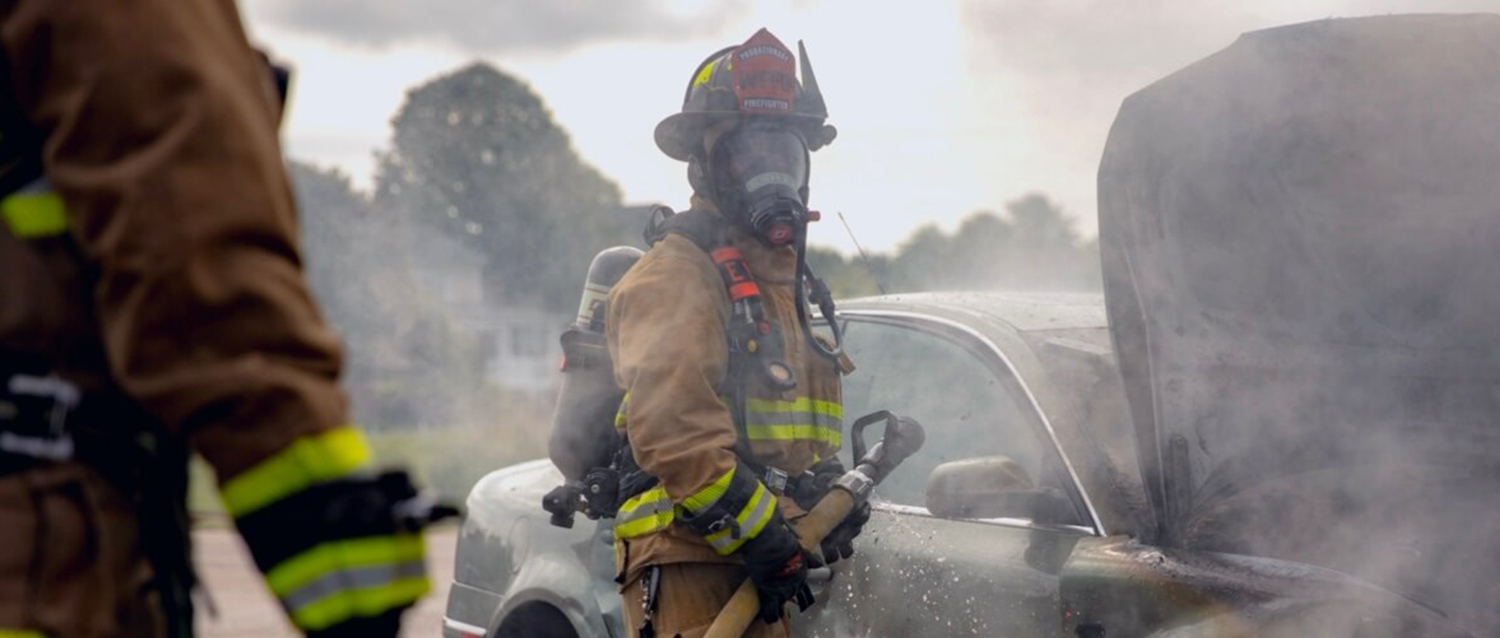
Drone technology has revolutionized the world of public safety, offering emergency responders an effective and reliable way to observe and analyze ground operations from an aerial view perspective to increase situational awareness, enabling crews to increase the safety and efficiency of missions with minimal risk to personnel.
With the right aerial system, a drone can provide crews with an advantage to better react and respond to emergency situations. With a drone in the air, first responders can view previously hard to view areas.
The world has become an increasingly unpredictable place. From firefighting to law enforcement, search and rescue, and more, a drone can create 3D models, monitor locations, and spot victims. The potential for smart drone technology to assist first responders will only continue to reach new heights.
When it comes to staying safe and ensuring public safety, UAVs have added measurable benefits to the Public Safety industry.
Some of the benefits include the following:
Immediate Intel and Rapid Response:
During an emergency, every second counts. Respond to urgent missions with rapid aerial awareness and start capturing key details right away. Use thermal and infrared technology to locate victims after explosions, industrial accidents, building collapses and fires. Aerial operation makes this a simple and efficient process.
Enhanced Safety and Security:
Aerial imagery provides enhanced situational awareness for those on the ground. With an infrared camera, operators can detect heat signatures to quickly identify victims or map out areas of interest. A thermal camera can additionally be utilized as a night vision tool, to keep the mission running after dark, or easily look through heavy vegetation or thick tree canopy.
Scalable:
Deploy multiple drones and monitor perimeters faster than on-foot operations, while saving time and money. Increase efficiency by extending your vision to include large lots and roofs – areas that would be difficult to inspect from the ground.
Real-Time Data and Coordinated Responses:
Drones can gather and share information from single or multiple sources. They can detect dangers in contaminated areas, keeping people safe. Synchronize across teams with direct resources with live mission overwatch, allowing your team to make better decisions on the spot.
Better Information and Reduced Risk:
Capture high-resolution imagery, infrared and video, allowing for access to all the facts and the ability to make better choices all the time. Eliminate guesswork and act with assurance, by conducting accurate aerial surveillance in rugged country or urban settings.
How are drones being deployed to protect and serve?
How are drones being deployed to protect and serve?
Firefighting
Drone technology assists firefighters with aerial insight enabling efficient, rapid, and informed decisions to maximize safety. Firefighters are quickly adopting these next-generation aerial tools, ranging from multi-gas detectors to high-resolution thermal and visual cameras, when responding to volatile emergency situations.
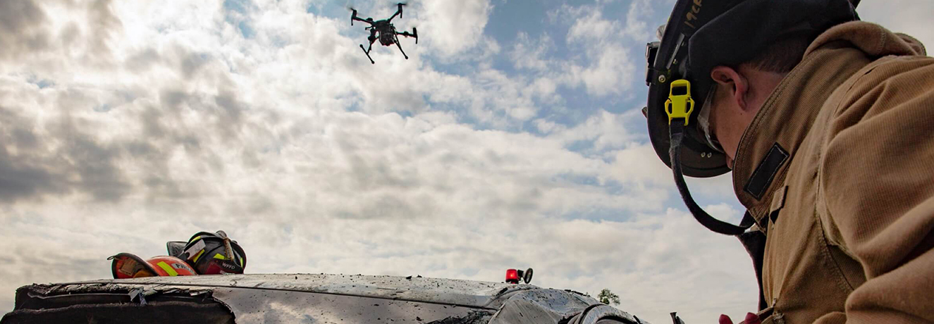
Law Enforcement
Drones are critical tools for law enforcement agencies – enabling greater safety, quicker response, and better decision-making. They are adopting versatile aerial robots to aid in incident response, rapid mapping, and scouting to facilitate informed actions.
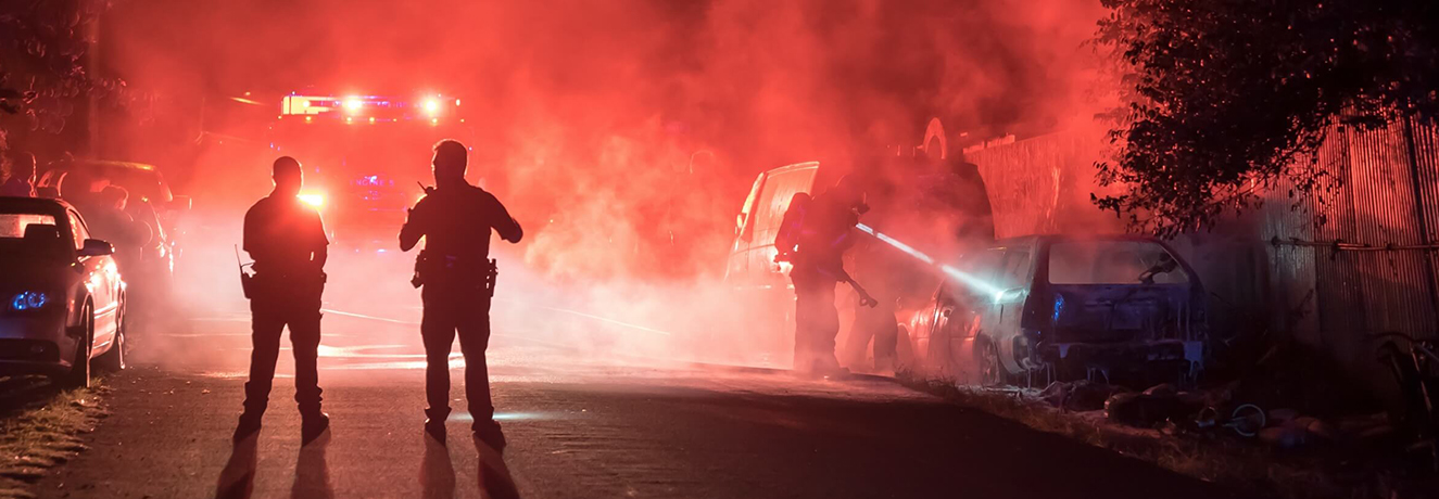
Search and Rescue Services
Drones enhance search and rescue missions – emergency responders can identify targets and deploy care faster thanks to the overhead guidance drones provide. Deployed at land or sea, drones can efficiently scan vast areas and help pinpoint individuals in distress with the help of high-resolution digital and thermal sensors.
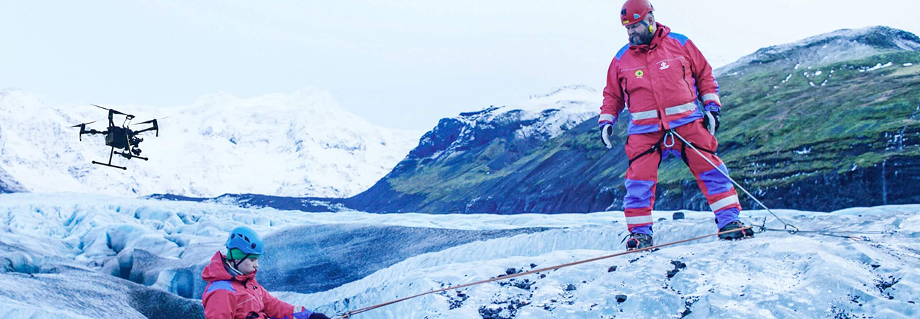
Disaster Response
Right after a disaster hits, it may be too risky to send in ground support. That’s where drones come in.
Along with comprehensive software solutions that will help to quickly and securely extract information for analysis and report creation.
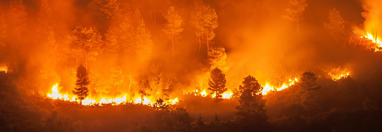
DJI Enterprise Drones to Support Public Safety Missions
Mission Oversight and Versatile Platform with the Matrice 300 RTK
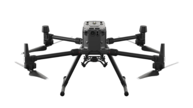
Oversee operations and missions as they develop, scan affected areas, identify threats in all situations, and arm/guide ground teams with real-time aerial intel. Make sure no detail is overlooked when capturing evidence with high-resolution aerial zoom camera technology.
Quick Deploy Tactical Tool – New Drone Platform – Mavic 2 Enterprise Advanced
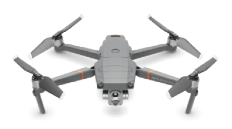
With thermal and visual sensors, the M2EA supports 32x digital zoom and is capable of centime-level positioning accuracy with the RTK module. Take off quickly and gain immediate aerial awareness of the search area to gain aerial intelligence, enabling more effective choices to be made.
